Where to reach the water
Public places to get to each spot. Gates, ramps and ferries change with the season and the weather.
What the water colours mean
River is the main stem of the Pascagoula and its big tributaries; bayou is slow tidal water winding through marsh or woods; marsh is open grass; sound is the shallow water between the mainland and the islands; gulf is the open sea beyond them; beach is the sand itself.
| Notes | Water | How you get there |
|---|---|---|
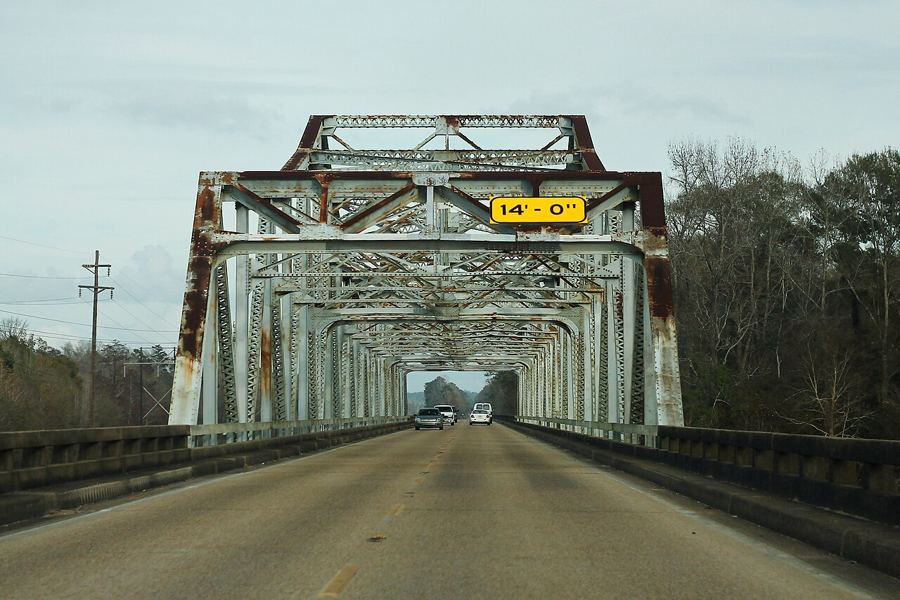
| The Pascagoula, a river left to run | river | Public launches in George and Jackson counties |
| Moss Point, where the Escatawpa meets the Pascagoula | river | Public launches and parks along the river |
| Inside the cypress and tupelo swamp | river | Public launches along the lower Pascagoula |
| Grand Bay, where the marsh meets the pines | marsh | Public roads, trails and boat launches |
| The rare cranes of the pine savanna | on land | Refuge visitor center and trail near Gautier |
| Living on the bayou | bayou | Public launches, bridges and waterfront parks |
| Ocean Springs and the painter of the islands | on land | US 90 bridge from Biloxi |
| Biloxi beyond the casinos | sound | Beach road (US 90) and public piers |
| Bay St. Louis and the western shore | sound | US 90 and the town beach |
| Pascagoula, the shipyard town | sound | Beachfront park and public river launches |
| West Ship Island and Fort Massachusetts | gulf | Seasonal passenger ferry from Gulfport |
| Horn and Petit Bois, the wild islands | gulf | Private boat only, no ferry |
| Davis Bayou, the national seashore on the mainland | bayou | Park road off US 90, Ocean Springs |
| Paddling the rivers and bayous | river | Public launches along rivers and bayous |
| Fishing and crabbing on the coast | sound | Public piers and docks along the beach |
| Shrimp, oysters and the coast table | sound | Public harbors and waterfronts in coast towns |
| The Singing River and the Pascagoula people | river | Riverbanks and launches near Pascagoula |
A river nobody dammed
The Pascagoula drains a large part of southeastern Mississippi and reaches the Gulf without a single dam on its main stem, which is rare among the big rivers of the lower forty-eight states. Its lower course spreads into cypress and tupelo swamp, bottomland forest and tidal marsh, flooding and draining with the seasons as rivers did before they were tamed.
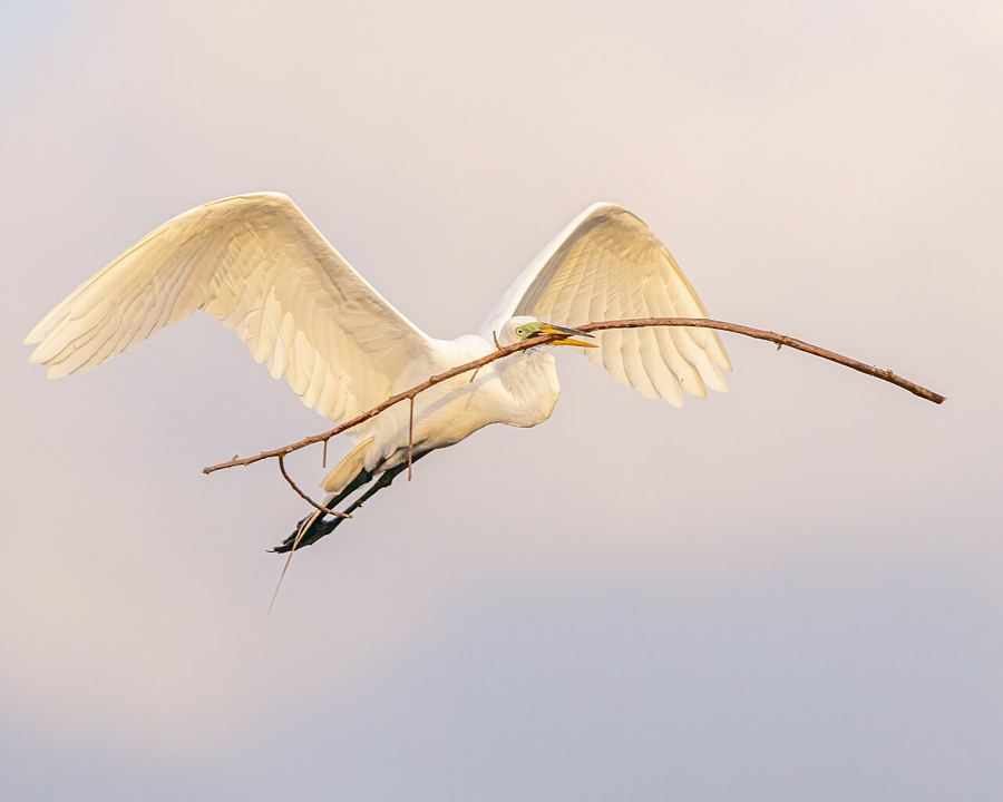
That is why so much lives here: swallow-tailed kites over the treetops, alligators on the sandbars, Gulf sturgeon in the channel, and the old story of a river that sings. Read the river’s story.
Every kind of water
 riverThe Pascagoula, a river left to run
 bayouLiving on the bayou
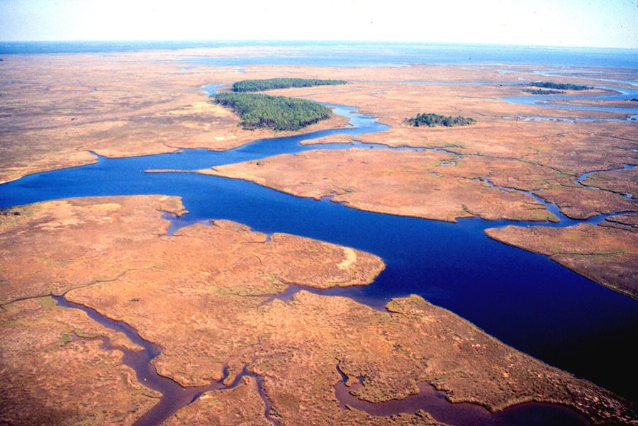 marshGrand Bay, where the marsh meets the pines
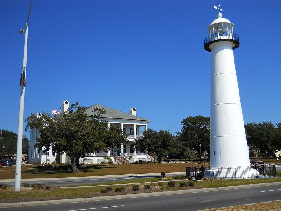 soundBiloxi beyond the casinos
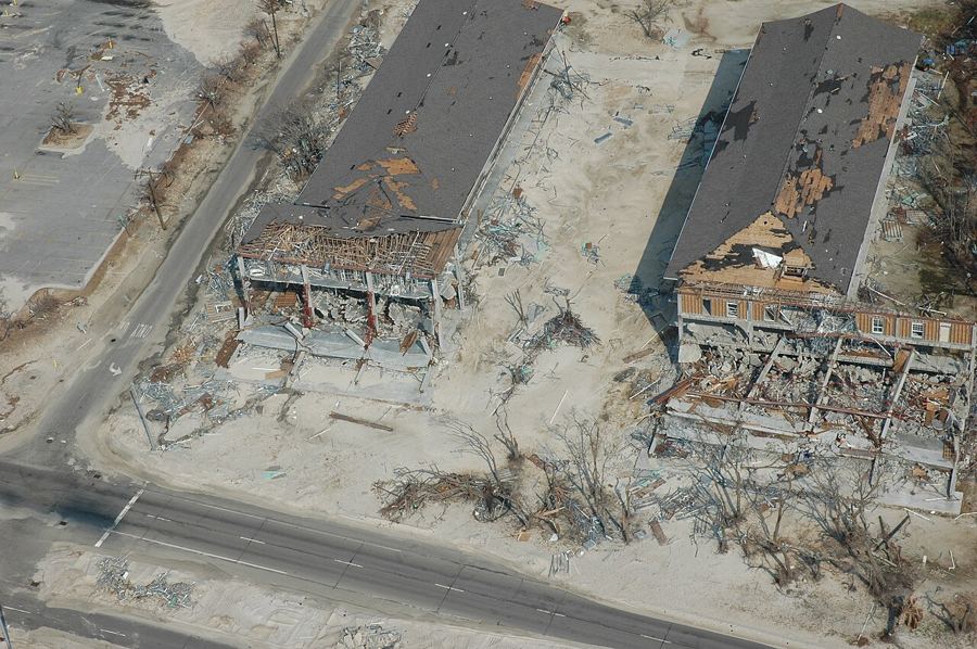 gulfHurricane season, plainly
Out to the islands
Ten miles offshore, the barrier islands of the national seashore: sand, pine and the Gulf on the far side.
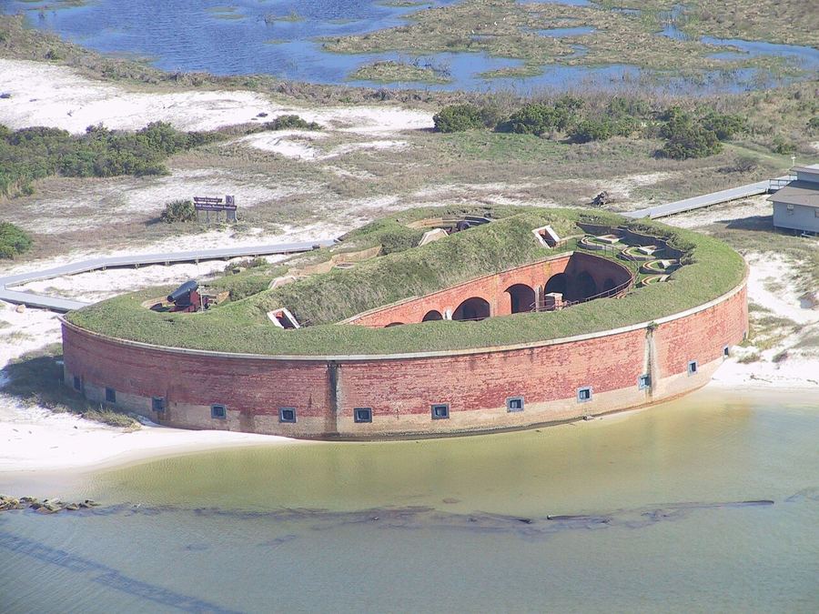
West Ship Island and Fort Massachusetts
A barrier island off Gulfport where a brick fort stands at the water's edge, and a short walk leads across the dunes to clear water and white sand on the Gulf side.
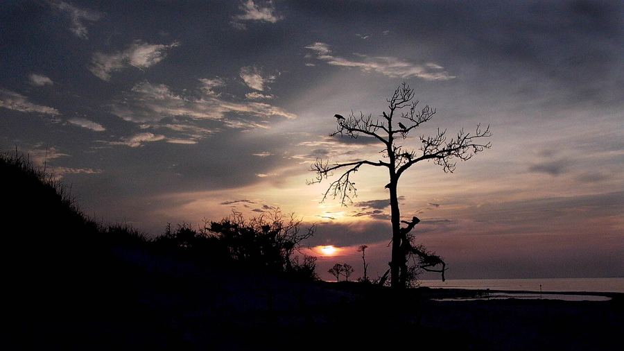
Horn and Petit Bois, the wild islands
Two long, empty barrier islands off Pascagoula, protected as wilderness, with no ferry, no buildings and no water, and with a painter's memory hanging over one of them.
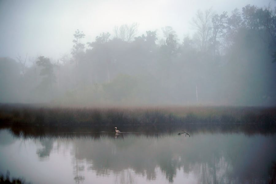
Davis Bayou, the national seashore on the mainland
A wooded corner of Ocean Springs where the national seashore meets the marsh, with trails, a boat launch and a visitor center, and no boat needed to reach it.
Picture credits: formulanone from Huntsville, United States, CC-BY-SA-2.0; Andy Morffew, CC-BY-2.0; P. R. Hoar, NOAA/NESDIS/NCDDC, PD; Woodlot, CC-BY-SA-3.0; Marty Bahamonde, PD; Edibobb, CC-BY-3.0; Willy Bearden, CC-BY-SA-4.0; Fsendek1904, CC-BY-SA-4.0


