The barrier islands · Ship Island
gulfWest Ship Island and Fort Massachusetts
A barrier island off Gulfport where a brick fort stands at the water's edge, and a short walk leads across the dunes to clear water and white sand on the Gulf side.
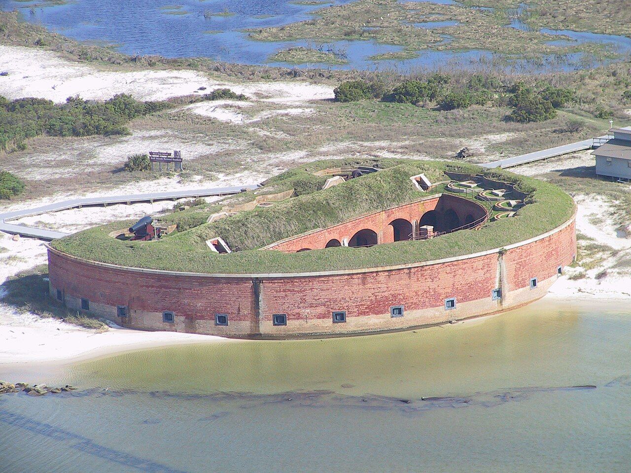
From the Gulfport waterfront, Ship Island is a low line on the horizon, sometimes no more than a pale streak between sea and sky. Out there, roughly an hour by boat from the mainland, the water turns from the brownish green of the Mississippi Sound to the clearer blue and green of the open Gulf. The sand is bright white, the light is strong, and at the western tip of the island stands a curved brick fort that has watched these waters since the Civil War.
Ship Island is part of Gulf Islands National Seashore, and West Ship Island, the part with the fort, is the one most visitors reach. It is the easiest of Mississippi's barrier islands to get to and the only one with a regular passenger service. It is still an island, though, and it asks you to plan for sun, wind and weather.
Getting there: the seasonal ferry
A seasonal passenger ferry runs from Gulfport harbor to West Ship Island during the warmer months. Schedules, fares and the length of the season vary from year to year, and trips can be cancelled when wind or weather make the Sound unsafe. Arrive early on busy weekends.
The crossing itself is part of the experience. Brown pelicans and gulls follow the wake, and dolphins often surface near the boat in the Sound. As the mainland drops away, you get a sense of how shallow and wide the Sound is, and how thin the island chain that shelters it really is.
Private boaters can also reach the island. If you go that way, know the shoals and channels, watch the weather closely, and follow seashore rules on where to anchor and land.
Fort Massachusetts


Fort Massachusetts is a brick masonry fort, built on the island's western end from 1859 onward as part of the coastal defenses of the United States. Its curved wall faces the channel, and inside, rows of brick arches form the casemates where heavy guns were meant to stand. The brickwork is the reason to go inside: arch after arch receding into shadow, cool even on hot days.
The fort was still unfinished when the Civil War began. Confederate forces held the island briefly in 1861, then withdrew, and Union troops occupied it later that year. Ship Island became an important Union base, a staging point for the campaign that captured New Orleans in 1862 and a place where ships gathered and troops waited. Prisoners of war were also held on the island during the conflict.
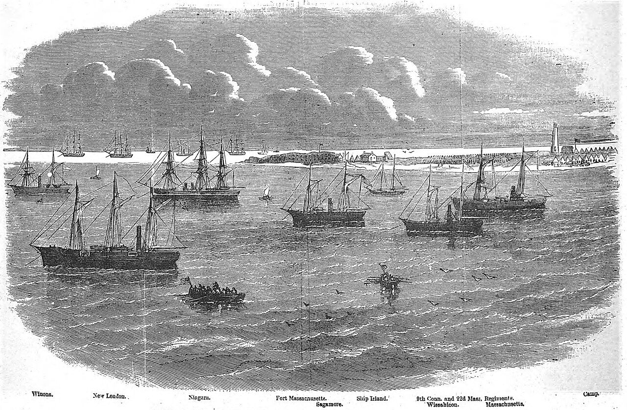

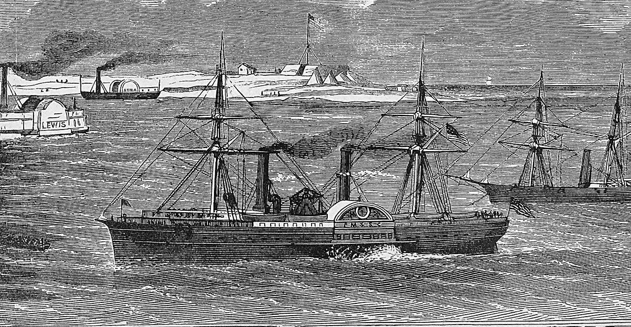

Engravings from illustrated newspapers of the time show the anchorage crowded with steamers and sailing warships, and tents spread over the sand. Soldiers who arrived here wrote home about the heat, the glare, the mosquitoes and the strangeness of a camp on a sandbar far out at sea.
Further down the waterHorn and Petit Bois, the wild islands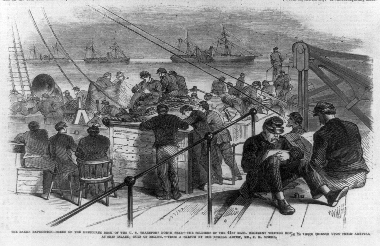

Construction continued during and after the war, but the fort was never fully finished to its original plan, and rifled artillery had already made brick forts of this kind outdated. Today it is managed by the National Park Service. Rangers often lead talks and tours in season; check what is offered when you arrive. Respect barriers and closed areas, as storms and age have taken their toll on the walls.
The island and its beach
From the fort and the pier area, a boardwalk leads across the island to the Gulf side. The walk is short, and it crosses a landscape very different from the beach: low dunes held together by sea oats, shrubs bent by the wind, and freshwater and brackish ponds where wading birds hunt. On a quiet day you can stand on the boardwalk and hear nothing but wind and surf.
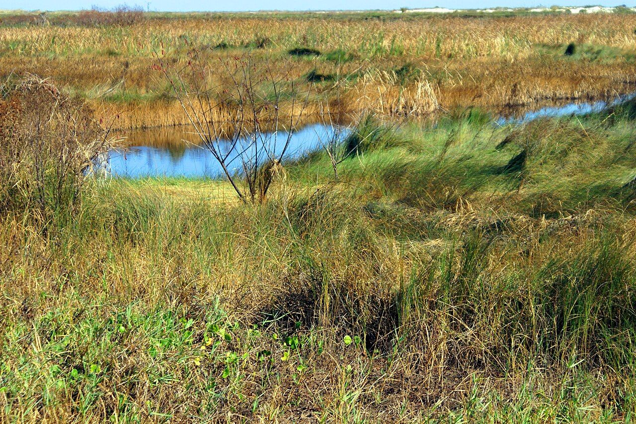

The Gulf-side beach is the reason many people come. The sand is fine and white, the water is often clear, and the beach stretches away in both directions. Swimming is popular in summer, and there may be a designated swimming area with lifeguards in season. Shelling is good after storms, though rules on taking natural items apply across the national seashore.
The island is also good for birds. Brown pelicans, terns, black skimmers and shorebirds work the beach and the shallows, and during spring and autumn migration, tired songbirds drop onto the islands after crossing the Gulf. See the birds of the Mississippi coast for more on what to look for.
Sun, storms and safety
The brickwork is the reason to go inside: arch after arch receding into shadow, cool even on hot days.
Ship Island is low, open and almost shadeless. The sun reflects off white sand and water, and sunburn and heat exhaustion are the most common problems visitors face. Plan for them seriously.
- Shade and water. Bring a beach umbrella or shade shelter if you plan to stay for hours, and more drinking water than you expect to need. Facilities on the island are limited and seasonal.
- Rip currents. The Gulf side can have rip currents, especially when wind and waves are up. If you are caught in one, swim parallel to the shore until you are out of the current, then head in.
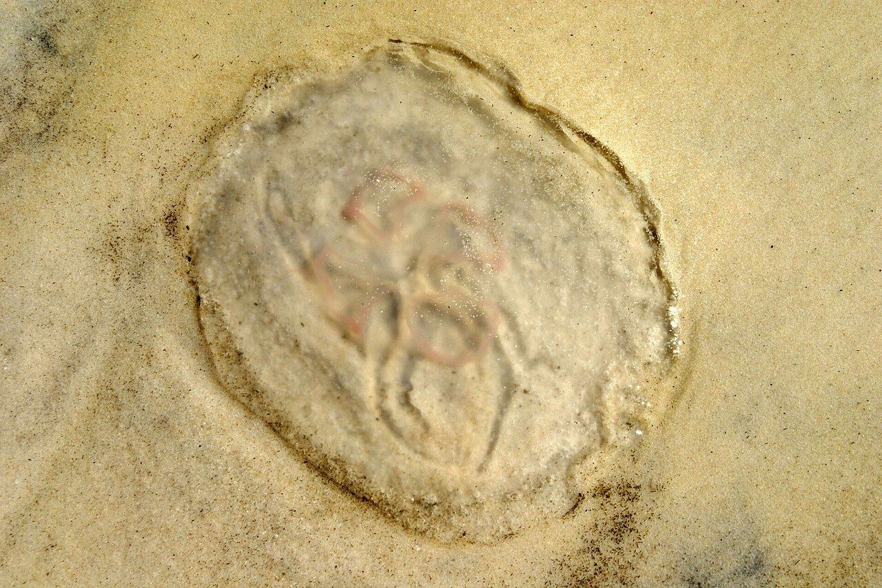
- Jellyfish. Jellyfish come and go with the seasons and the wind, and they wash up on the beach as well. Stings are usually painful rather than dangerous, but watch where you swim and walk.
- Lightning. Summer thunderstorms can build quickly over the Gulf. There is little shelter on the island, so watch the sky and follow staff instructions.
- Getting back. Know when the last boat leaves and be at the pier in good time.

Ship Island lies in the path of Gulf hurricanes, and storms have reshaped it repeatedly. Hurricane Camille in 1969 cut the island in two, which is why the western part with the fort came to be called West Ship Island. Hurricane Katrina in 2005 damaged the fort and flattened much of the island. The shoreline keeps shifting, and so do the facilities. For the wider picture, see hurricane season, plainly.
National seashore rules
Ship Island is protected as part of Gulf Islands National Seashore, and the usual national park principles apply. Rules on alcohol, pets, glass containers, fires, camping and collecting change from time to time and can differ between islands and seasons. A few points hold in general:
- Stay off the dunes and use the boardwalks; the vegetation holds the island together.
- Give nesting birds a wide berth, and respect any closed areas on the beach.
- Take everything you bring back to the mainland with you, including food scraps.
- Leave shells, plants and historic objects where you find them unless rules say otherwise.
Late spring and early autumn are the sweet spots: the ferry is usually running, the water is warm enough to swim, and the heat is less punishing than at midsummer. Spend the morning at the fort, walk across to the Gulf side, and leave the island before the afternoon storms and the last boat.